Tarkine Wilderness
takayna
The Largest Tract of Cool Temperate Rainforest in the Southern Hemisphere
On the lands of the Tarkiner people.
schedule 2 min read / Updated Apr 2026
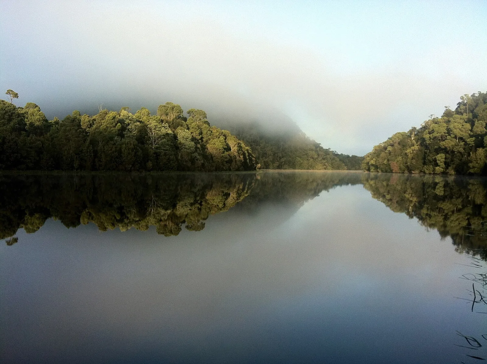
Known by its Aboriginal name takayna, the Tarkine in north-west Tasmania is the largest tract of cool temperate rainforest in the southern hemisphere. It covers around 4,500 square kilometres of myrtle beech, leatherwood, sassafras and ancient Huon pine forests, plus the wild rocky coastline of the Arthur Pieman Conservation Area.
The Tarkine, known as takayna in palawa kani (the reconstructed Tasmanian Aboriginal language), is a vast wilderness in the north-western quarter of Tasmania. It covers around 4,500 square kilometres and includes the largest single area of cool temperate rainforest in the southern hemisphere, plus extensive button-grass moorlands, rocky coastal dunes, wild rivers, magnesite caves, ancient Huon pines and an estimated 60 species of rare or threatened plants and animals.
The rainforest is geologically and biologically a fragment of the much larger forests that covered the supercontinent of Gondwana around 65 million years ago. Many of the dominant tree species (myrtle beech, leatherwood, sassafras, celery-top pine) are descended directly from species that grew across Antarctica when it was warmer and forested. The trees in the deeper valleys can be hundreds of years old and the canopy in places reaches 40 metres.
The Tarkine is the traditional country of the Tarkiner band of the north-western Tasmanian Aboriginal nation, and contains some of the most significant Aboriginal heritage sites in Tasmania, including coastal middens, hut depressions, rock engravings and ceremonial grounds at Sundown Point and West Point. The region's Aboriginal name takayna is increasingly used by both visitors and the Tasmanian Aboriginal Centre to acknowledge the country's First Peoples.
The Tarkine Drive is the standard introduction for visitors, a 200 kilometre loop on mostly sealed roads that takes in the Trowutta Arch (a natural rock arch at the entry to a cave), the Julius River Forest Reserve boardwalk, the Sumac Lookout over the Arthur River valley, and the historic timber settlement of Corinna at the southern edge of the rainforest. Corinna is reached by the Pieman Heads ferry across the Pieman River.
For wilderness walkers, the Tarkine offers some of the most challenging multi-day hiking in the country. The Tarkine Coast Track is a 5 day coastal hike that follows the wild north-west shore. Several guided multi-day operators run from Burnie and Smithton, and the Tarkine Trails operator is the longest established. The wet season (May to September) makes most tracks impassable; the best window is November to April.
Scenic views
Lookouts near Tarkine Wilderness.
You may also like


Attribution
Sources & credits
Content (1)
Images (2)
- Arthur Pieman Conservation area The Pieman River Tasmania.jp... · Helenpearly · CC BY-SA 4.0
- Katianna sp. (14119107406).jpg · Andy Murray · CC BY-SA 2.0
.jpg)
Images sourced from Wikimedia Commons under licenses that permit commercial use. If you are the rights holder and believe an attribution is incorrect, please contact us.